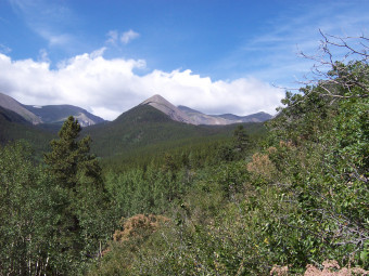
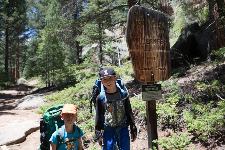
Here are some highlights of our backpacking trip into the Sangre de Cristo wilderness area August 15-17, 2003. Sangre de Cristo is one of the larger wilderness areas in Colorado (~1/4 million acres). We hiked up the Brush Creek trail to get to our intended camp site, Lower Brush Creek Lake. The trailhead was roughly 30 miles West of Pueblo along Highway 50. To get to the trailhead, we bounced along a rather fun four-wheel drive road for about 3 miles or so.
We got off to a rough start. The maps of the area are misleading when it comes to finding the trailhead. We ended up bush-whacking for about the first 1.5 miles (and about 1500 feet of elevation gain). Thanks to the late start and side trips, we didn’t make it all the way to the lake on our way in.
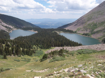
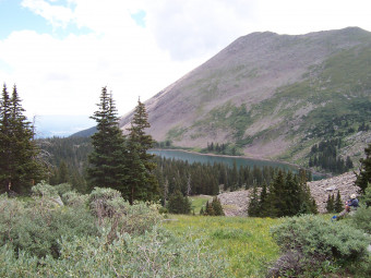
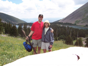
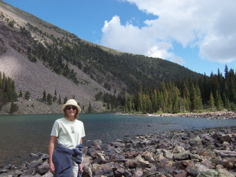
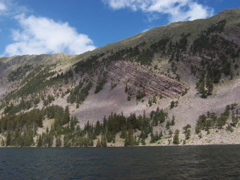
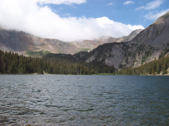
Lower Brush Creek Lake is at roughly 12,000 feet of altitude. Our campsite was about 1/2 mile below the lake along the trail. I tried my hand at fishing, but didn’t have much luck. We hiked a ways up the so-called trail to get a vantage point of both lakes. You can see from the pictures it was worth the effort.
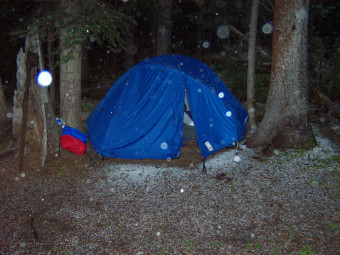
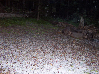
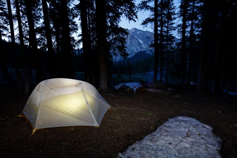
Saturday night, a thunderstorm rolled into the valley and dumped hail on us for about 30 minutes. I snuck out of the tent to grab a picture.